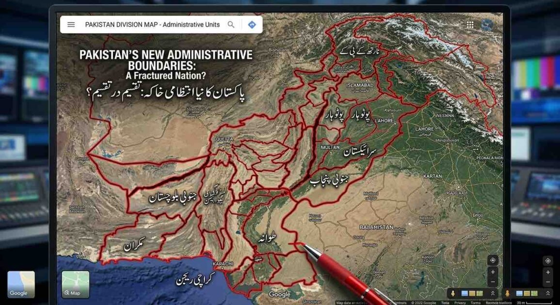






A close-up photograph of a large monitor displaying a satellite map of Pakistan, altered with a complex overlay of thick red lines creating a hypothetical subdivision of the country. At the top of the map, text in English reads: "PAKISTAN'S NEW ADMINISTRATIVE BOUNDARIES: A Fractured Nation?" Below it, Urdu text says: "پاکستان کا نیا انتظامی خاکہ: تقسیم در تقسیم؟" (translated as "Pakistan's New Administrative Plan: Division within Division?"). Numerous Urdu labels partition the map into smaller regions, including "جنوبی پنجاب" (South Punjab), "سرائیکستان" (Saraikistan), "پوٹوہار" (Pothohar), "مکران" (Makran), and "کراچی ریجن" (Karachi Region). Labels for adjacent territories like "INDIA", "AFGHANISTAN", "IRAN", "BALOMISTAN", "KARTAN", and "BHOJO" are also visible. A red pen tip is shown in the foreground near the bottom-center, poised near where "TANDO" (partially obscured) is written. The user interface mimics Google Maps, with a search bar and map controls. The background is a blurred view of multiple screens in a newsroom or control room.

پاکستان میں نئے صوبوں کی تشکیل: انتظامی ضرورت، سیاسی حکمتِ عملی اور آئینی چیلنجز

دی خیبر ٹائمز رپورٹ پاکستان کا موجودہ انتظامی و سیاسی ڈھانچہ طویل عرصے سے سست روی،اختیارات اور عوام کو بنیادی سہولیات کی عدم فراہمی جیسے سنگین مسائل سے دوچار ہے۔ اسی بنا پر ملک میں موجودہ چار صوبوں کے بجائے مزید پڑھیں